The article Extreme heat in the city: This app shows you the shadiest route appeared first in the online magazine BASIC thinking. With our newsletter UPDATE you can start the day well informed every morning.
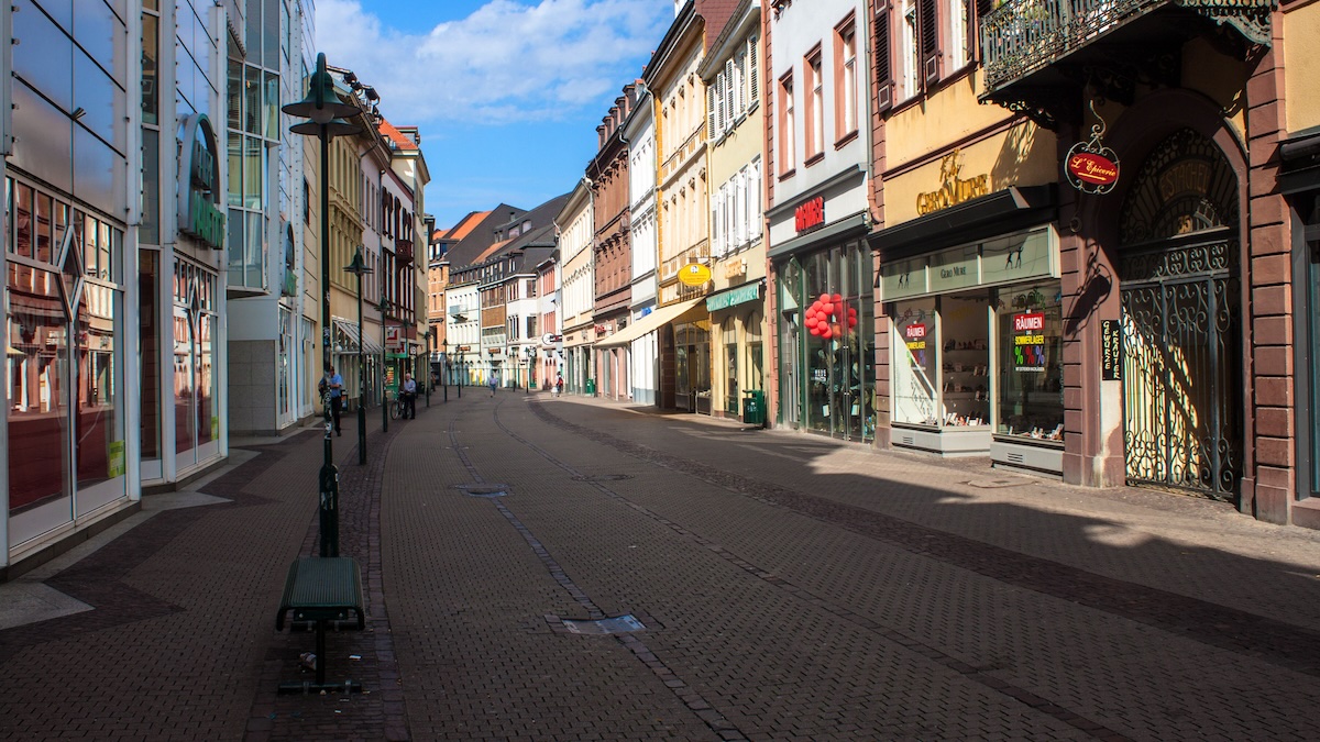
Anyone who has to walk through the city in summer knows the problem: some streets heat up so much that they become a burden. Researchers at Heidelberg University have therefore developed an app that calculates the shady path for pedestrians depending on the time of day.
The Heidelberg Institute for Geoinformation Technology (HeiGIT) has a system developed to analyze the walkability of streets in hot weather. A routing app was created from the results of a research project at the University of Heidelberg. Supported since summer 2024 the application shaded.ors the people in Heidelberg and Worms with their daily route planning. Alexander Zipf, Professor of Geoinformation at HeiGIT, says:
In addition to providing information and adaptation concepts on the subject of heat stress in general, HEAL’s goal is to enable heat-adapted mobility, particularly for people in risk groups, using an app.
How the Heal app determines paths in the shadows
The software specifically identifies paths for pedestrians that lead through shady parks or streets in the shadow of buildings. In this way, very hot places can be avoided in extreme heat.
Current weather and solar radiation data as well as information on the condition of the path are included in the calculations. Digital surface models capture the height of objects such as buildings and trees above the ground. The program combines this information with terrain models and maps from OpenStreetMap. The system then determines a solar index for each road section.
Different position of the sun, different route: This is how the app adapts
The route recommendation adapts to the respective time of day and the position of the sun. In the morning, the application recommends taking Wilhelm-Leuschner-Straße and then Martinsgasse and Judengasse to get from Worms main train station to the Rhine promenade. In the afternoon, however, the application directs people via Goethestrasse. The navigation is intended to enable seniors, children and those with previous illnesses to get around on hot days.
When designing the project, the focus was on direct exchange with the population. Seniors, people with previous illnesses and families shared their experiences with heat during workshops. In addition, those involved used mobile interviews via messenger service. This shared knowledge brought to light needs that would not have been visible from pure data.
What municipalities can learn for city administration
The application runs on an open source routing service and uses maps from OpenStreetMap. The system calculates a so-called solar index for each road section from the input data. This value indicates how much a section is exposed to the sun at a given time. The team is also working on providing routing via a free live interface.
In the long term, the application could serve municipalities as a tool for climate adaptation. If the system does not find shady ways, this would demonstrate a lack of protection for vulnerable groups. The results should therefore point city administrations to places where investments in trees and shade would be necessary. Since the code is open, the heat routing could be transferred to other cities with corresponding data.
Also interesting:
- Study: AI is used in the military in these areas
- Chat privately with AI: Start incognito chat with Meta AI in WhatsApp
- Bluesky, Mastodon, W Social, Threads: 4 alternatives to X in comparison
- Captcha without Google: 4 European alternatives in comparison
The post Extreme heat in the city: This app shows you the shadiest route appeared first on BASIC thinking. Follow us too Google News and Flipboard or subscribe to our newsletter UPDATE.
As a tech industry expert, I think the idea of an app that shows the shadiest route to avoid extreme heat in the city is a great innovation. With temperatures rising due to climate change, it is important for individuals to stay safe and avoid heat-related illnesses. By using technology to identify and navigate through cooler, shaded areas, this app can help people stay comfortable and protected during hot weather.
This app could also have other useful features, such as real-time updates on temperature and heat index levels, tips for staying cool, and notifications for heat advisories. By leveraging data and technology, we can empower individuals to make informed decisions and take proactive measures to mitigate the effects of extreme heat.
Overall, the development of an app that shows the shadiest route in the city is a practical and innovative solution to address the challenges posed by rising temperatures. It demonstrates how technology can be used to improve the well-being and safety of individuals in the face of climate change.
Credits